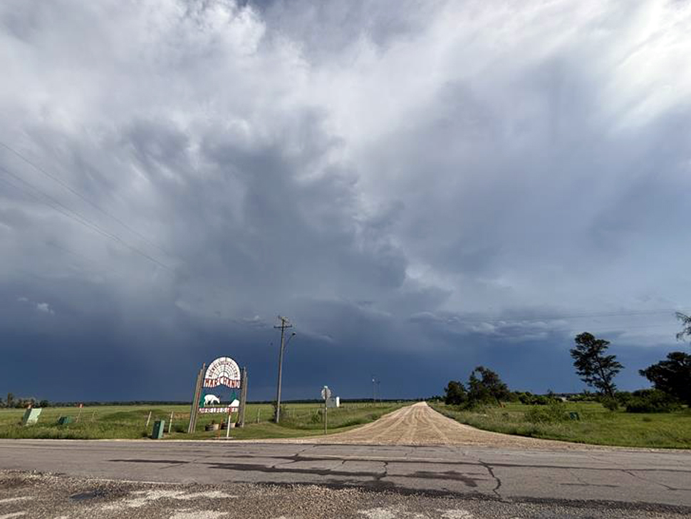
A warm and humid air mass will move through the province today, brewing up all the ingredients needed to create severe thunderstorms.
However, something called capping is making it hard for meteorologists to predict exactly what will happen.
"The capping is just a layer of warm air above the surface, about 1-2 km up in the sky, " said Crawford Luke, meteorologist with Environment Canada. "The best analogy is like when you're boiling pasta or something, if you have a lid on the pot, sometimes the lid comes up and the water boils over, and it makes the sizzle sound and all that. Think of those fluffy clouds as bubbles boiling in your water, and then if one of them goes and blows the lid off, breaks the cap, that's kind of the thunderstorm."
Luke says as far as today is concerned, that's what they're watching.
"This leads to a low predictability forecast with a wide range of outcomes possible," he said. "We could be looking at some pretty intense thunderstorms today."
While there could be hail and strong winds today, he notes there is also the chance we could avoid stormy weather.
"We could see nothing. It's kind of frustrating trying to plan for stuff. I do predict, however, that somewhere in Manitoba will get a hailstorm today."
The greatest risk will be this afternoon. Meanwhile, some other storms are expected to form in eastern Saskatchewan or right at the border with Manitoba, and those may make it to the city later this evening or overnight.
The rest of the weekend is looking warm and humid with a 60% chance of showers late Saturday afternoon.
The sunshine will return on Monday with a high of 26 degrees.